Hill walk
routes to climb in SW Scotland - also coastal paths and National Scenic
Areas with maps, pictures and other useful information based on extensive
local knowledge
Portling
to Castlehill Point - A Coastal Walk
Click on
the left side of the image below to go back to the previous page
or, on the right side of it to go to the next page.
or, on the right side of it to go to the next page.
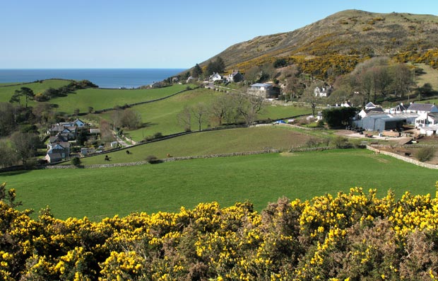
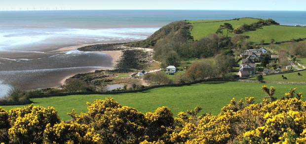
The second picture gives you the view down to Portling Bay and you can see that the two bays are separated by a knoll.
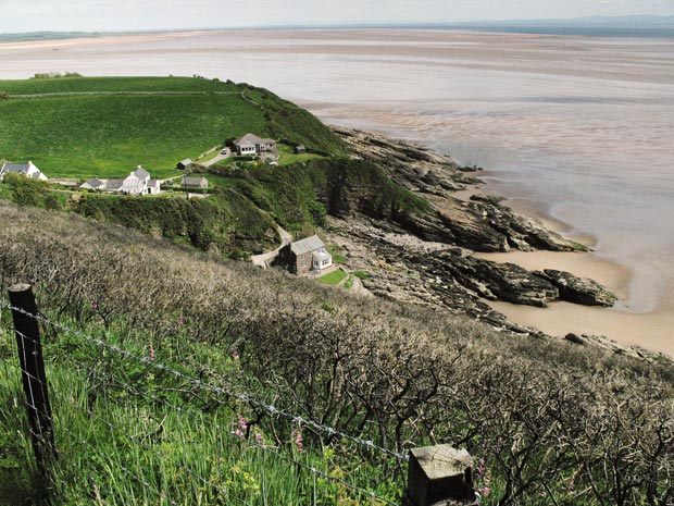
In the third picture we have walked down to Port 'O Warren and started on the coastal path which at this point runs across the south face of White Hill - so we are looking quite steeply down into Port 'O Warren Bay and the handful of houses that are around it. The knoll that we saw in the second picture is now on the left of the third picture. The sandy beach that you can see in the distance beyond the knoll is at Mersehead and the land you see in the distance on the right is the Cumbrian Coast, on the far side of the Solway Firth.