Hill walk routes to climb in SW Scotland
- also coastal paths and National Scenic Areas with maps, pictures and
other useful information based on extensive local knowledge
Around Mulberry Harbour Remains
Garlieston
Click on the left side of
the image below to go back to the previous page
or, on the right side of it to go to the next page.
or, on the right side of it to go to the next page.
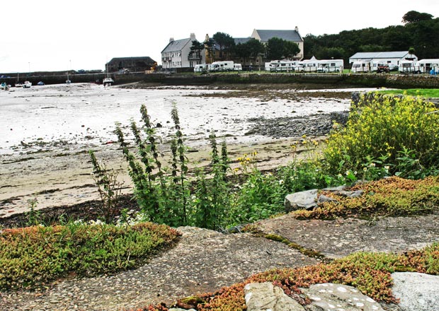
The picture below was taken at 9.46 am and low tide. We are beside the village hall looking over to the harbour. The village hall has a glass case on it's northern wall with photographs and information about the fundamental roll these waters played in the development of the Mulberry Harbour in the early 1940's.
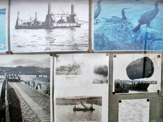
The third picture shows a section of this display. I have worked on individual pictures from the display and interspersed them through the pages which follow giving the walk a kind of "then and now" theme. Another theme which runs through the walk concerns the richness of wild flowers which you will find everywhere.