or, on the right side of it to go to the next page.
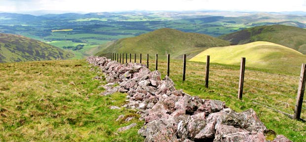
23 Here we are right at
the top of Well Hill looking straight down the dyke to Durisdeer. Durisdeer
Rig is on the left, Penbane is in the middle of the picture and Black
Hill is on the right.
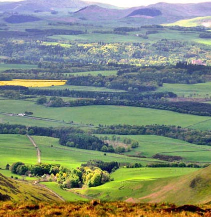
In the picture below I have zoomed in from the same spot. You can see
Durisdeer Village clearly in the foreground. Near the right edge of the
picture you can see Drumlanrig Castle the seat of the Duke of Buccleuch,
who owns all the land around here and much else besides. The River Nith
runs through the trees across the picture from right to left just this
side of the castle - heading towards Dumfries and the Solway Firth.
The wee lump of a hill just left of centre near the top of the picture
is Tynron
Doon - which has been described as the most important iron-age fortress
in the Dumfriesshire. For more information about Tynron Doon just click
on the link.