Durisdeer
Hills and Dalveen Pass
Click on the left side of
the image below to go back to the previous page
or, on the right side of it to go to the next page.
or, on the right side of it to go to the next page.
|
Durisdeer
Hills and Dalveen Pass
|
|||
|
Click on the left side of
the image below to go back to the previous page
or, on the right side of it to go to the next page. |
|||
|
|
|||
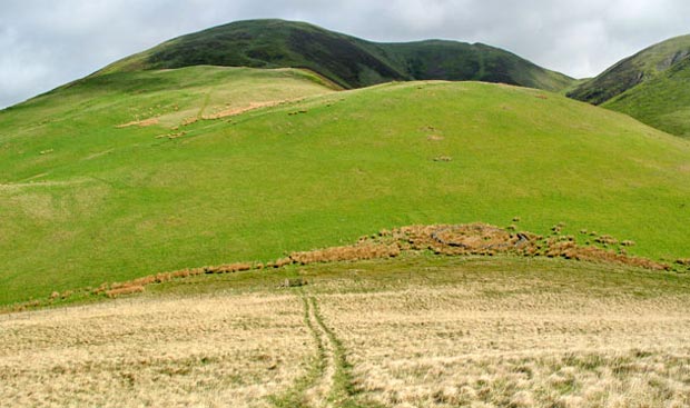
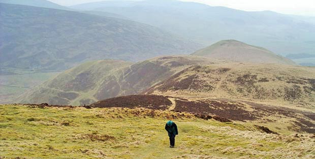
| 05 Once you're onto the top of Castle Hill you get this view ahead of you up onto Black Hill which in this picture is living up to it's name. You can see that the route is a bit up and down to get there. You can see this clearly on page 28 which was taken from Durisdeer Rig near the end of our walk. Most of the pictures in this web gallery were taken on the 9th May 2007 when I was on my own. The pictures with figures in them as below were taken on 1st April 2004 which as you can see was a bit misty when we set out. This picture is from near the top of Black Hill | |||
|
|||