Hill walk routes to climb in SW Scotland
- also coastal paths and National Scenic Areas with maps, pictures and
other useful information based on extensive local knowledge
Around St Mary's Loch
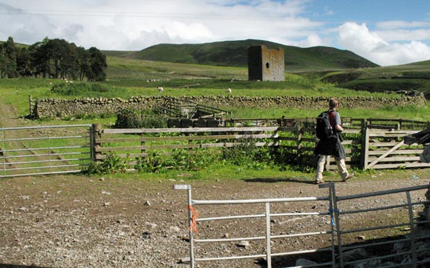
Click on the left side of
the image below to go back to the previous page
or, on the right side of it to go to the next page.
or, on the right side of it to go to the next page.
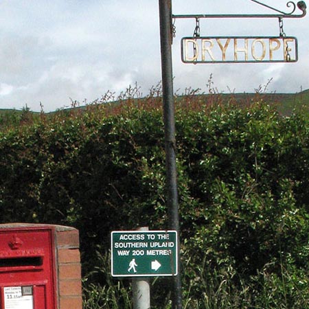
If you read through "Kinmont Willie" you would have found Dryhope mentioned - not the place, but the person who stayed there. Where there are many families of the same name in an area (as was the case in the Borders) the easy way to differentiate between them is to call the people by name of the place they stayed at.