Hill walk routes to climb in SW Scotland - also coastal paths and National Scenic Areas with maps, pictures and other useful information based on extensive local knowledge
Around 
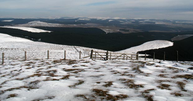
Ettrick Head - Capel Fell, Wind Fell and Ettrick Pen in Winter
Site Homepage - West Borders Home - Large Map of West Border Hills
List of West Border Web Pages - Ettrick Pen Home - Moffat Hills Introduction
Click on the left side of the image below to go back to the previous page
or, on the right side of it to go to the next page.
View of the route from Wind Fell to Ettrick Pen View of the route from Wind Fell to Ettrick Pen View of the route from Wind Fell to Ettrick Pen
25 Heading on from the top of Wind Fell we get this view of Ettrick Pen still some two kilometres away. You can see the ubiquitous county boundary fence and I moved to the right to get to it and then follow it along the top of the ridge.
The second picture shows the view to the east over Eskdalemuir Forest and Teviotdale towards the Cheviots in the distance.
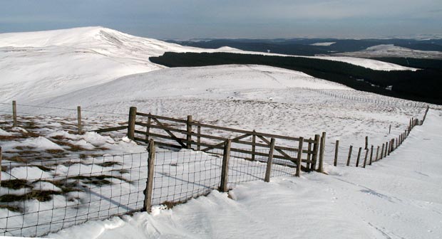
The third picture shows the same gate with the route to Ettrick Pen following the fence.
County Boundary fence running from Wind Fell towards Ettrick Pen with the Cheviots in the distance.
County Boundary fence running from Wind Fell towards Ettrick Pen.
Go to Page 24
Go to Page 26