Hill walk routes to climb in SW Scotland
- also coastal paths and National Scenic Areas with maps, pictures and
other useful information based on extensive local knowledge
|
|||||
Culter Fell Round
|
|||||
Click on the left side of
the image below to go back to the previous page
or, on the right side of it to go to the next page. |
|||||
![]() |
|||||
13 Here is one of the pictures that looks
distinctly weird. I was shooting SW and therefore straight into the light
but I did want this shot over Coulter Reservoir. Notice the different spelling
from that of "Culter" Fell. There is a village called Coulter
as well nearby but the hill has a different spelling on the Ordnance Survey
map from either the village or the reservoir. We are looking SW from the
top of Culter Fell in the above picture past Coulter Reservoir, passed Camps
Reservoir and right over to Lowther Hill in the distance near the right
edge of the picture. It is easily recogniseable with the civil airlines
communications ball on top which you cannot see here but which I was able
to zoom in on in Photoshop for confirmation that this hill was Lowther. 
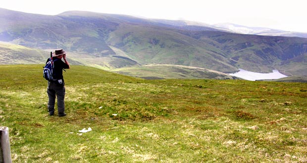
Sandy took the first picture below of me taking the above picture. I have worked hard on that image too to get some detail into it. 
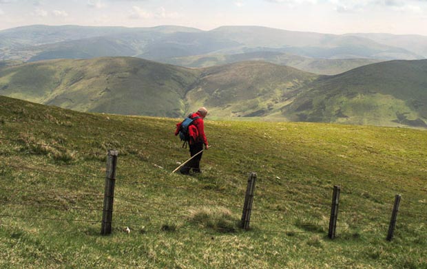
The third picture shows Sandy beginning the line of our descent which is almost due south from Culter. If you mouseover the image the names of the hills that you can see will appear, and the blue dashes show the line I took back down into the Holms Water valley from Glenlood near the end of the route. |
|||||
![]() |
|||||
![]() |
![]() |
![]() |
![]() |
![]() |
![]() |