01 Tynron
Doon has been described as the most important iron-age fortress in the
Dumfriesshire and there is reputed to be a spectre of a headless horseman
associated with the hill. There is a way marked route up onto it from
the Penpont to Tynron road (parking at NX817933). There was an L-shaped
tower house built on the top of Tynron Doon as late as the latter half
ot the 16th century. Finds from the site and the surrounding slopes have
a wide date-range and some of these can be seen in Dumfries Museum.
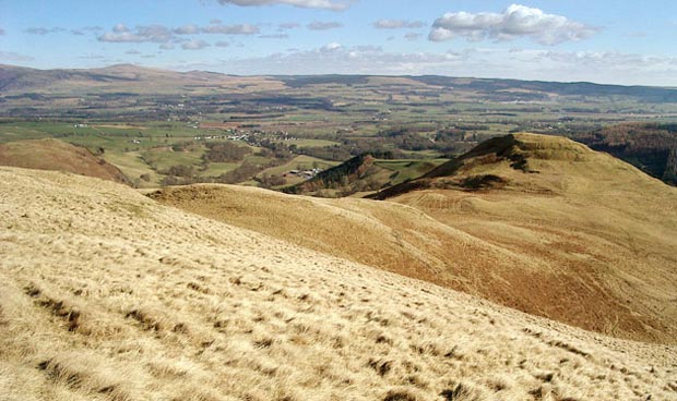
Above is a view from the south shoulder of Auchengibbert looking down
over Nithsdale with Tynron Doon on the right of the picture. On the skyline
near the left edge of the picture is Queensberry Hill and below it you
can see the village of Thornhill which lies on the A76 Dumfries to Kilmarnock
road. Penpont
village is nearer and more towards the centre of the picture.
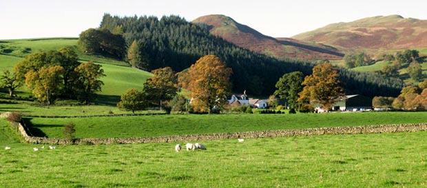
The picture below shows a view of Tynron Doon from the road which runs
up Scaur Water. Tynron Doon is in the middle of the picture behind the
trees and Auchengibbert is on the right