Hill walk
routes to climb in SW Scotland - also coastal paths and National Scenic
Areas with maps, pictures and other useful information based on extensive
local knowledge
Portling
to Castlehill Point - A Coastal Walk
Click on
the left side of the image below to go back to the previous page
or, on the right side of it to go to the next page.
or, on the right side of it to go to the next page.
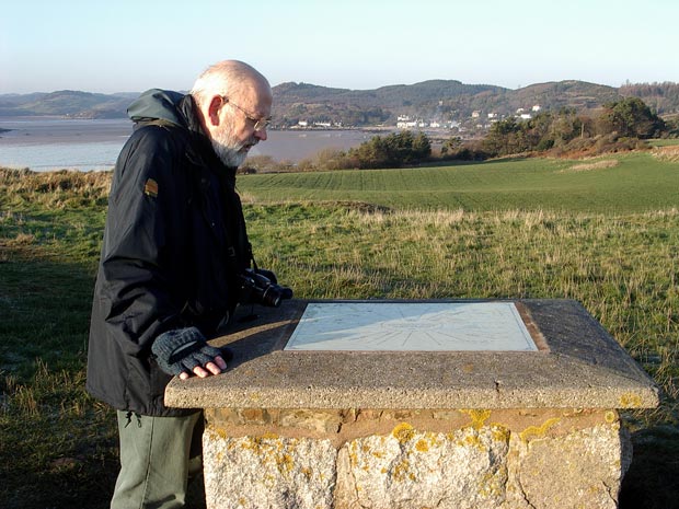
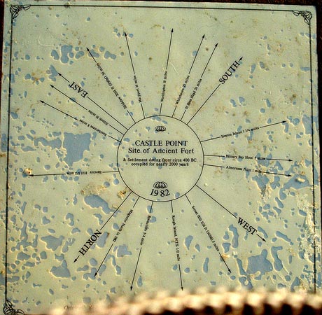
17 Here we are on the top
of Castlehill Point where there is an information board telling you something
of the history of the place and indicating what is to be seen at the various
compass points around you - as you can see in the picture below.
The text in the centre says:
Castle Point - Site of Ancient Fort
and Settlement dating from circa 400 BC occupied for nearly 2000 years.
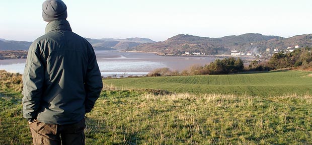
In the
third picture Mark is looking up into Rough Firth with the village of
Rockcliffe on the right. There is a pleasant walk along the shore to Rockcliffe
from Castlehill Point and access to that is from the far side of the field
that you see here.