Hill walk routes to climb in SW Scotland
- also coastal paths and National Scenic Areas with maps, pictures and
other useful information based on extensive local knowledge
Around Mulberry Harbour Remains
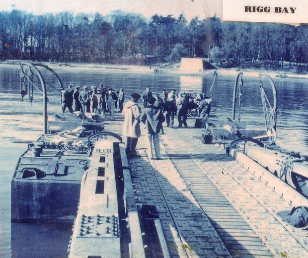
Garlieston
Click on the left side of
the image below to go back to the previous page
or, on the right side of it to go to the next page.
or, on the right side of it to go to the next page.
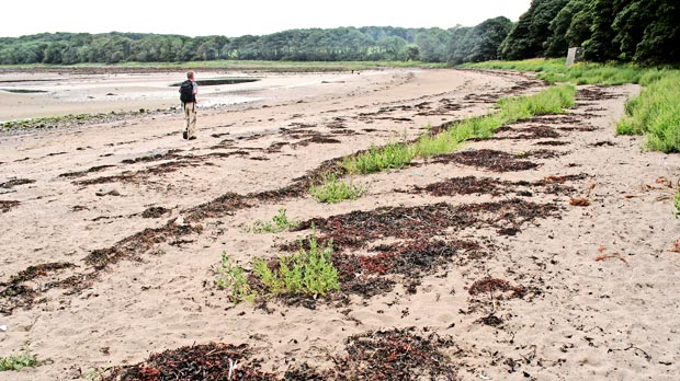
19 Here is Allan heading south across Rigg Bay. Notice the block-like
structure near the right hand edge of the picture.
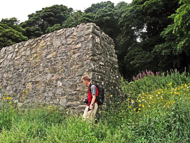
In the picture below Allan is investigating it.
You can see it quite clearly in the second picture below and it seems
that what they would do is bring the floating pier up to it and drive
trucks on and off using this as a ramp, it then became part of the "crocodile"
system of floating roadway and was known as a "stone crocodile".
It is interesting that they built it of stone rather than concrete.
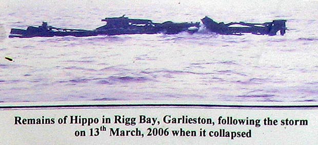
The third picture below explains itself.