Hill walk routes to climb in SW Scotland
- also coastal paths and National Scenic Areas with maps, pictures and
other useful information based on extensive local knowledge
Around Mulberry Harbour Remains
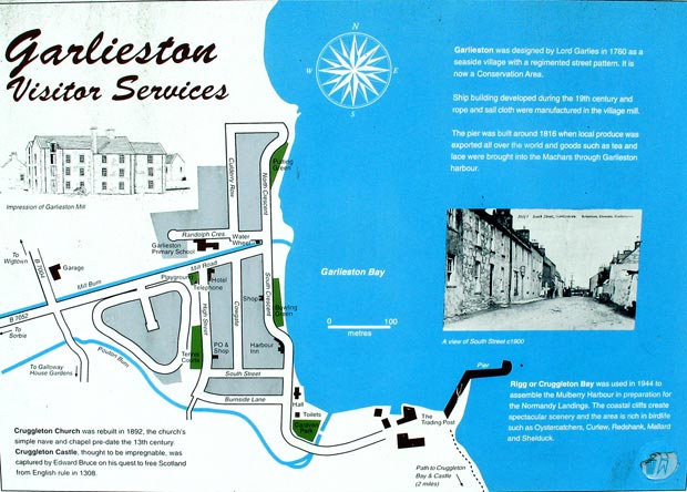
Garlieston
Click on the left side of
the image below to go back to the previous page
or, on the right side of it to go to the next page.
or, on the right side of it to go to the next page.
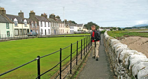
Below we are on our way heading north along South Crescent with the bowling green on Allan's left - much affected by the salt air/water.
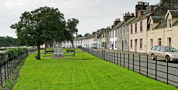
Looking south in the second picture we get a good flavour of what this little town is like, viewed from near the war memorial.
There is a new housing development going on around the harbour area which we will look at later. In the meantime you might like to take a look at a panoramic movie which scans across the whole of Garlieston Bay from the harbour to Eggerness Point as seen from the air. This is from a website promoting the housing development.