or, on the right side of it to go to the next page.
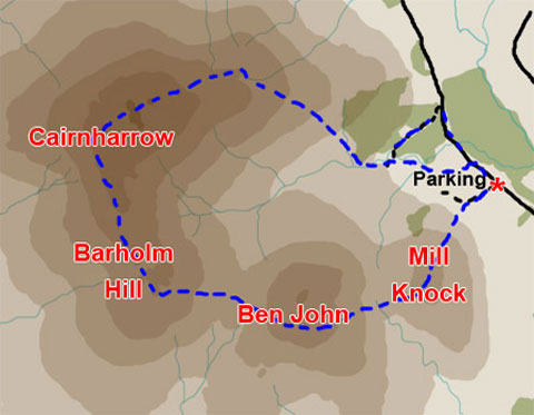
01 Above is a map of the route we are
doing in this web gallery - done clockwise in this case. On
page 17 there is a more general map
of the area.
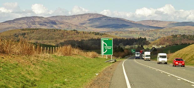
Below is the view as you head west along the A75 and you come to the crest
of the hill leading down the Gatehouse bypass. Continue on down the bypass
right to the bottom where the road comes close to the sea. You will cross
a bridge and there is a sign just by the bridge for Skyreburn. Turn up
to your right onto this (single track) road. Head up that road
and bear to the left when you come to a fork in the road. A mile or so
beyond that you will see a new road going into the fields on your left.
This road is too recent to be shown on the OS map. It has a very wide
entrance and you could park there. There are several other possible parking
places in the vicinity but this road gives good access to Mill Knock as
you will see in the picture on page 02 and 03.
Mouseover
to see the names of the hills and the route we will take over them.