or, on the right side of it to go to the next page.
04 Photographing the Grey Mare's Tail is no easy matter because most
of the day it is in deep shadow - and really the best shots are to be
got from the Ettrick Hills anyway as I have shown on page 3. So here we
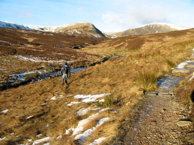
are above the water falls with White Coomb near the left edge of the above
picture and Mid Craig on the right.
A group of 5 young men and two Labradors set off just before me from the
car park intending to cross the Tail Burn just above the waterfalls and
from there head up onto White Coomb. Three of them got across okay but
two of them reckoned it was too dangerous and worked their way up the
burn looking for a suitable place to cross. The stepping stones were covered
in ice. In the pictures here they are looking for a safe crossing point.
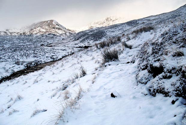
In the second picture you can see the path which goes to Loch Skene and
you can see how icy it is in places. Mid Craig is just left of centre
and Lochcraig Head is on the right. Quite a bit of work has been put into
making this path user-friendly.
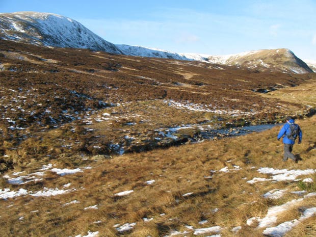
The third picture shows you what this same scene looked like on 24th January.