Hill walk routes to climb in SW Scotland - also coastal paths and National Scenic Areas with maps, pictures and other useful information based on extensive local knowledge
Glenwhargen Round
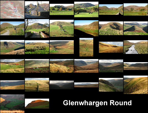
A circular hill walk from Glenwhargen on the Scaur Water by Glenmanna, Peat Hill and White Knowe to Polgown, then onto the Southern Upland Way as far as Cloud Hill, before heading over Welltrees Tappin and Glenwhargen Craig back to Glenwhargen

Site Homepage - Scaur Home - Windy Standard Home - Cairnkinna Home - Tynron Doon
Cairnsmore of Carsphairn - Large Map of the Area

Click on any picture to go to a larger version of it
The last rays of sunshine kiss the top of Glenwhargen Craig View from the top of Glenwhargen Craig looking down to where the car is parked Looking back northwards from Glenwhargen Craig over the route we have come from Welltrees Tappin< Arriving at the top of Glenwhargen Craig with view down to Scaur Water View of the Lowther hills from Welltrees Tappin Looking west towards Cairnsmore of Carsphairn as we approach Welltrees Tappin Following the dyke towards Welltrees Tappin View of Sanquhar town from where the Southern Upland Way walkers will first see it View looking south east along the Scaur Water valley from where we leave the SUW View looking WSW along the Scaur Water valley towards the Rhinns of Kells and Cairnrsmore of Carsphairn Detail showing Cairnkinna from the Southern Upland Way View looking south east from the Southern Upland Way along the opposing shoulders above Scaur Water Looking south over to White Knowe as we ascend towards Cloud Hill Beginning to climb up near the burn after crossing the bridge over Scaur Water View looking westward as we cross the bridge over Scaur Water View looking eastward as we descend from White Knowe to the bridge over Scaur Water near Polgown View straight northward across the Scaur valley to the route we will take from Scaur Water upward View from White Knowe down to Polgown farmhouse View from White Knowe back along the route we have come Looking across Scaur valley to Glenwhargen Craig and other hills on the north side of the valley Looking back east from Peat Craig ridge back down the Scaur Valley View ahead up the ridge towards the top of Peat Craig View looking up the Scaur valley from Peat Craig ridge View down to Glenwhargen farm as we start to climb Peat Craig Where to leave the track to Glenmanna farm for access to Peat Craig View of the track we take past Glenmanna farm onto Peat Craig Approaching Dalziel Snout and Peat Craig on the single track road up Scaur valley Approaching Dalziel Snout and Peat Craig on the single track road up Scaur valley View looking back down at the single track road just after you turn sharp left off it View towards Tynron Doon from the single track road which takes you up the valley of the Scaur Water Heading west through the village of Penpont with the distinctive shape of Tynron Doon beyond Map of a walking route from Glenwhargen, by Glenmanna, Peat Hill and White Knowe to Polgown, then Southern Upland Way to Cloud Hill, before heading over Welltrees Tappin and Glenwhargen Craig back to Glenwhargen