Walking along the vehicle track which takes you to Foresthill from Bengairn Loch


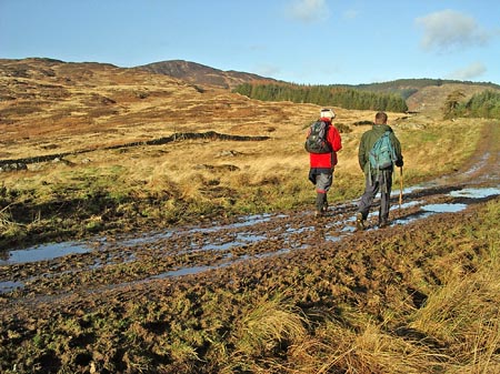
30 Above is a view taken while walking along the vehicle track which takes you to Foresthill on the blue route of page 01. That's Bengairn in the background.

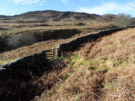
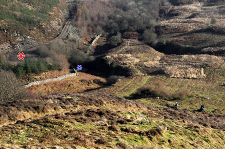
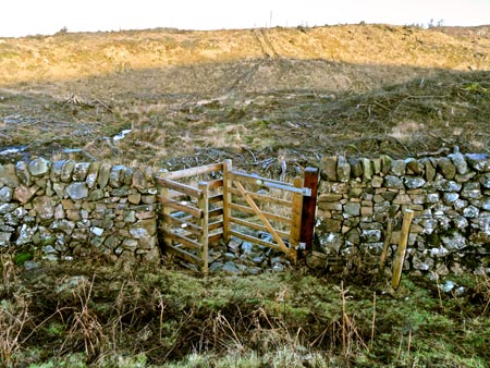
The pictures below date from 2012 and were taken on the route that goes from the Screel Walk car park to Bengairn directly, along the forest track shown in green and white on page 01, and then continues from Bengairn to Screel over newly felled ground on Mid Hill

View of Bengairn from the gate at the end of the forest road which goes up Troudale Gill

Above is a view of Bengairn from the gate at the end of the forest road which goes up Troudale Gill. There is quite an obvious path from here which takes you immediately across the Troudale Burn and then up in a NW direction to the left (west) side of the small hill on the right of the picture - which is actually a shoulder of Bengairn. Once up in the little valley there head WSW for the top of Bengairn.

View looking back from the shoulder of Bengairn towards Troudale Gill

Above is a view looking back down Troudale Gill from that same shoulder of Bengairn mentioned above. You can see the forest track quite clearly in this picture. The red asterisk is sitting in the turning place for vehicles at the end of the track and the blue asterisk shows where the gate is. You can see the ruins of a building near the bottom right corner of the picture and the path comes up past that onto Bengairn.
Gate at the watershed in the valley between Bengairn and Mid Hill

When you leave the top of Bengairn making for Screel follow the path which heads northwards until you are in sight of the junction of two dry stane dykes. Watch out for a path heading off to the right before you get to that junction and take that path. Following this path you will come to the gate shown in the picture above. Once through the gate you are in the area where the trees have been felled on Mid Hill and you should make for the vehicle track that you can see in the picture - heading NE towards the bottom of the scree slope that leads up to the cairn at the west end of the Screel ridge. From there you can either go up and along the Screel ridge or head down the forest track shown in green and black on the page 01 map. This forest track will lead you back to the car park, or, when you come to where the red route crosses this forest track, you can head to your right down the red route.