Hill walk routes to climb in SW Scotland - also coastal paths and National Scenic Areas with maps, pictures and other useful information based on extensive local knowledge

Walks on the East bank of the River Nith

Site Homepage - Otherwalks Home - Map of River Nith Estuary - List of Otherwalks Pages Ardwall to Criffel Home Page - Mid Glen to Criffel - Caerlaverock Castle Walk
East Bank of River Nith Home Page - West Bank of the River Nith
Click on the left side of the image below to go back to the previous page
or, on the right side of it to go to the next page.
View from the quay at Glencaple across the River Nith with sign warning of fast flowing tides and quicksands View from the quay at Glencaple across the River Nith with sign warning of fast flowing tides and quicksands View from the quay at Glencaple across the River Nith with sign warning of fast flowing tides and quicksands

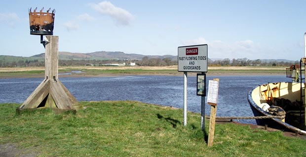
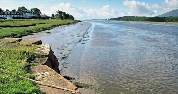
07 The two images on this page show views from the end of the quay at Glencaple. In the picture above there is a sign warning against the dangers of fast flowing tides and quicksands. In the picture below you can see Criffel on the right bank of the river and the road heading out of the village from Glencaple to Caerlaverock on the left.

Glencaple has an active in-shore rescue station.

View looking south down the River Nith from the quay at Glencaple
Site Homepage - Otherwalks Home - Map of River Nith Estuary - List of Otherwalks Pages Ardwall to Criffel Home Page - Mid Glen to Criffel - Caerlaverock Castle Walk
East Bank of River Nith Home Page - West Bank of the River Nith
Go to Page 06
Go to Page 08