or, on the right side of it to go to the next page.
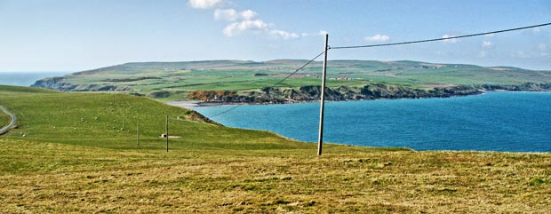
17 This is the view as we look from near the lighthouse west along the final east-west-running hook of the Mull of Galloway towards where we parked the car and where we were walking in the morning. You can see how near this most southerly hook of the Rhins of Galloway came to being an island - the narrow neck of land between East Tarbet Bay and West Tarbet Bay is only about 250 metres wide and is just over 20 metres high in between. The ancient Britons who stayed here, and who spoke a version of Gaelic akin to the modern Welsh form, built extensive fortifications across this narrow neck of land to defend this final hook of land. Gaelic was spoken in this area until the late middle ages.