Hill walk
routes to climb in SW Scotland - also coastal paths and National Scenic
Areas with maps, pictures and other useful information based on extensive
local knowledge
Lighthouse
- Mull of Galloway
Pictures
of (and from) the lighthouse on the Mull of Galloway
Click on
the left side of the image below to go back to the previous page
or, on the right side of it to go to the next page.
or, on the right side of it to go to the next page.
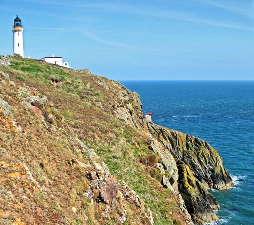
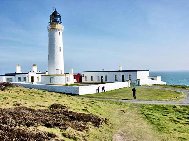
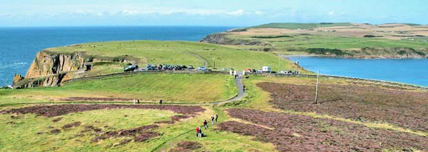
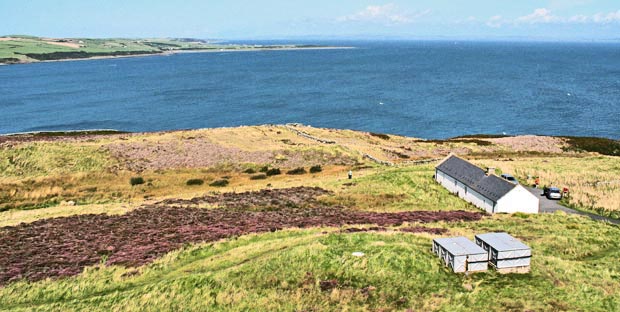
In the first picture below we have a picture that Sandy took of the Mull of Galloway lighthouse. The folk posing for a picture have nothing to do with us but they do give you some idea of the scale of the thing. On a few days of the week it is possible to get up to the light room and balcony that you see near the top of the lighthouse - from where the third and fourth pictures were taken on quite a different day from the the day we did this walk.
The third picture shows the view from there looking west-north-west over the whole area of our walking route and the fourth picture shows the view looking east over the RSPB centre to Luce Bay and the Wigton Peninsula beyond.