Hill walk
routes to climb in SW Scotland - also coastal paths and National Scenic
Areas with maps, pictures and other useful information based on extensive
local knowledge
Walk
around Monreith
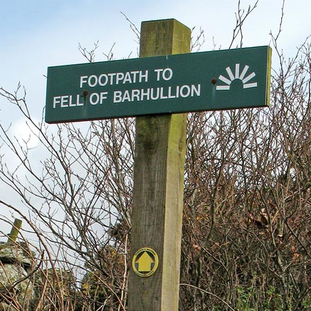
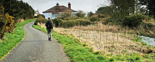
Click on
the left side of the image below to go back to the previous page
or, on the right side of it to go to the next page.
or, on the right side of it to go to the next page.
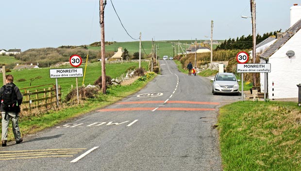
The third picture shows the view ahead of us as we take to that road. You can see Clark's Burn on the right of the picture as it runs by the roadside briefly at this point.