Durisdeer
Hills and Dalveen Pass
Click on the left side of
the image below to go back to the previous page
or, on the right side of it to go to the next page.
or, on the right side of it to go to the next page.
|
Durisdeer
Hills and Dalveen Pass
|
|||
|
Click on the left side of
the image below to go back to the previous page
or, on the right side of it to go to the next page. |
|||
|
|
|||
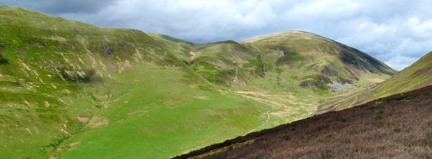
| 31 This is the view looking back up to Well Hill (right of centre) from near the end of the Durisdeer Rig. You can see the fence/wall line where I descended from it onto the vehicle track. You can also see the Well Path/Roman road coming down the valley. | |||