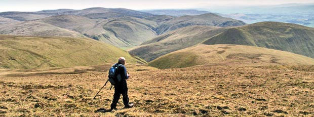
Durisdeer Hills and Dalveen Pass
Map of the area - List of Lowther Pages - Durisdeer and Dalveen Home - Site Homepage
Click on the left side of the image below to go back to the previous page
or, on the right side of it to go to the next page.
View of Steygail from Pettylung View of Steygail from Pettylung View of Steygail from Pettylung
10 If you look at Steygail on the Ordnance Survey map you will see that it has a definite "S" shape on the map, rising all the way from the tail to the head. This makes a good route up onto Lowther which you can see in this picture with the golf ball on top waiting for a giant golfer. That is all Steygail in front of Lowther even though there appears to be two tops when you see it from these Durisdeer hills. This can be a bit confusing when you are trying to sort out which hill is which in your mind. There is a very slight saddle between these two tops.
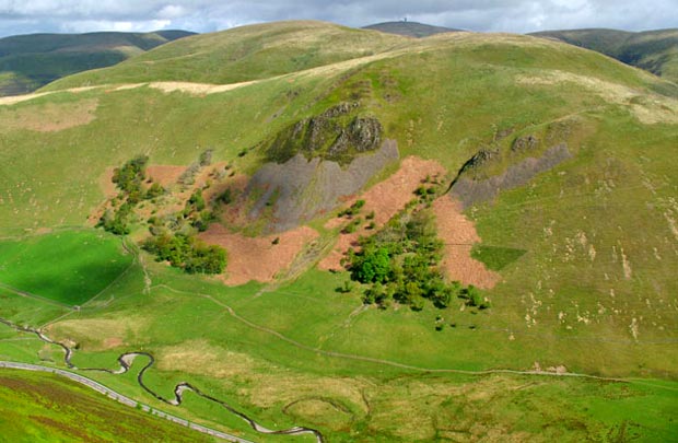
The image below is taken from the Lowther hill web gallery and gives a view back to the Durisdeer hills from there. If you mouseover you will get the names of all the main hills in the picture below. Notice the deep cleuch or gorge between Black Hill and Capel Hill which I always find the most exciting part of this Dalveen walk, as you will see in pages 12 to 16.
View from Lowther Hill looking back to the Durisdeer hills
Go to page 09
Go to page 11
Map of the area - List of Lowther Pages - Durisdeer and Dalveen Home - Site Homepage